St John's Wood then and now
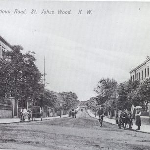
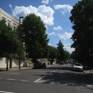
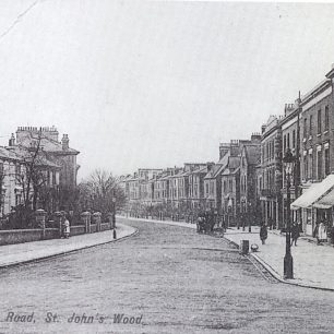
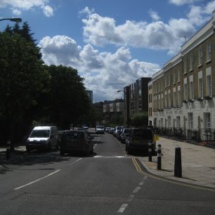
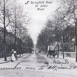
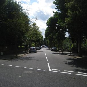
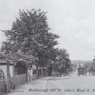
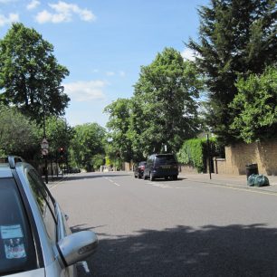
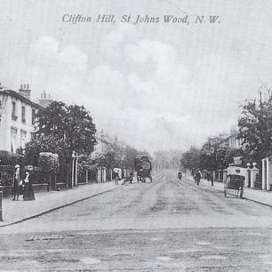
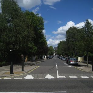
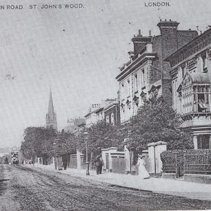
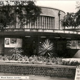
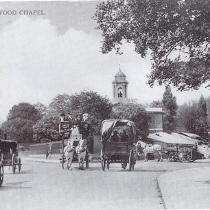
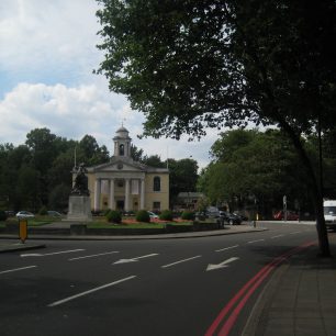
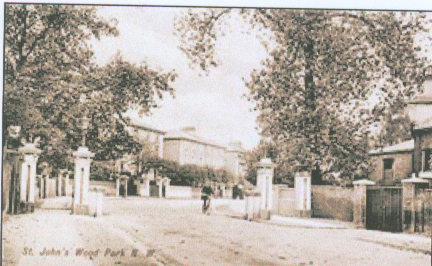
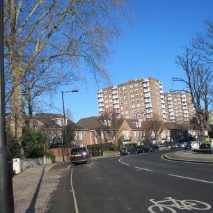
How far does St John’s Wood in 2011 resemble the garden suburb that was the aim of the Eyre estate? The houses and side streets of the Eyre estate look remarkably the same as they did in late Victorian times, with gardens and trees in abundance, though the trees have grown large enough to obscure the houses. Horse drawn vehicles have been replaced by cars, and parked cars litter the sides of the roads but the peaceful atmosphere remains. Of the streets on the west of the Finchley Road, Boundary Road has changed the most, with blocks of flats replacing houses at the lower end, but a time traveller would recognise Loudoun Road, Clifton Hill, Carlton Hill and Marlborough Place easily. The same cannot be said of the Finchley Road itself, with blocks of flats on each side, All Saint’s church knocked down and St John’s Wood station replacing old villas. St John’s Wood Park, too, is completely different. However, St John’s church still stands.



Comments about this page
I was interested to see an image of St John’s Wood Park I was living there was the aerial torpedeos whiped the whole lot out around 19th December 1940 are there any images of around that date ?
Add a comment about this page